0_map Medium Resolution
Low
|
High
|
Original
Resolution
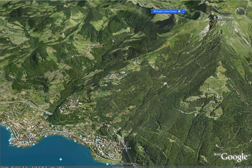
Google earth was very helpful in figuring out the rough difficulty of hikes.
Here's a screen dump, with the Rochers de Naye train stop at the upper right, and Montreux at the lower left.
It was a 5000 foot elevation drop.
Previous
---
Index
---
Next
Previous
---
Index
---
Next